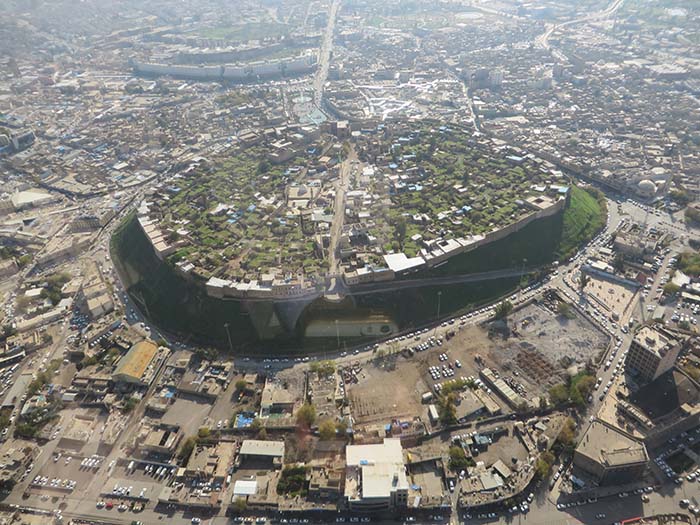
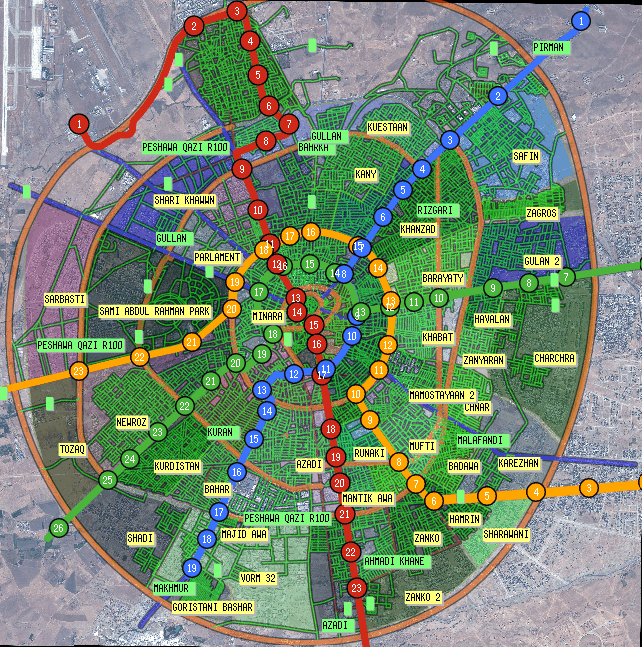
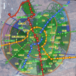
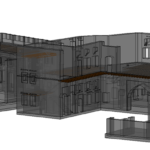
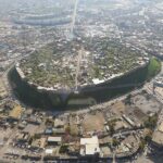
Project Description: The project began as support for the design of Erbil’s LRT: 75 km of tramway line divided into four lines (Red, Green, Yellow, Bleu). After the collection of data needed for the realization of the project, and various reconnaissance of the city, a WebGis system was created in which the following layers were implemented:
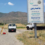
Photographs were included in some places, allowing us to see from the same vantage point the current landscape and with the subway. The database used for the application is Postgres, this choice allowed us to use the same database for both design and visualization via the web, offering the team updated data in real time.